Infrastructure
Home / Modules
Infrastructure Module
At PX4 we leave no stone unturned. If there’s an activity that requires approval and tracking, we’re on to it.
We have developed unique functionality to manage infrastructure projects, particularly linear infrastructure (i.e. power lines, pipelines, rail, communications, and roads).
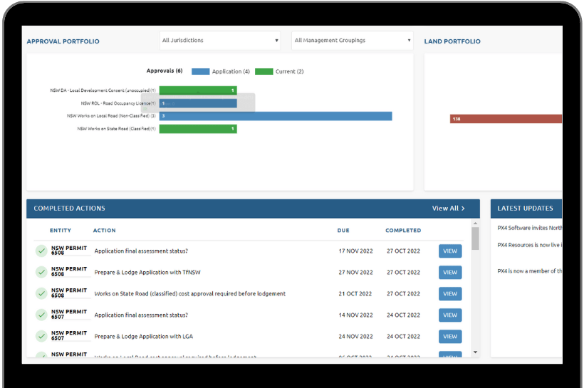
We’re mapping and scripting development assessment / development approval pathways into PX4 to make it easy to step and guide you through these specific approval processes.
For your infrastructure project, and in combination with other PX4 functions, you’ll be able to:
- Create land access notices via the form generation functionality
- Land access tracking register (for example for low-impact activities)
- Approval tracking matrix (for example for non-low (high) impact activities)
- Automatic email generation for land access
- Split your project into manageable sections
- Link project information to each section
- Record contact and stakeholder information
- Record and manage important information about (land) parcels (& link parcels to stakeholders)
- Record any project-related agreement via the Agreements Module
- Link any number of agreement to your project
- Keep track of large-scale landowner access permissions
- Create actions to remind about upcoming due dates and/or deadlines
- Extract rendered maps per parcel from ArcGIS
- Extract downloadable reports.
More options, more power, better decisions.
Just like every other PX4 feature and module, functionality in the Infrastructure Land Access Management Module are being designed to integrate seamlessly with everything else in PX4.


