This March, PX4 Software celebrated 1,096 days of Innovation, Development, and Advancements in Tenement Management. As a company, we’ve had three successful years of:
- Customer-focused development;
- Mitigation of corporate risk;
- Cutting edge innovation;
- Australian expansion; and
- International development.
We’re stepping into the future with an aim to keep pace with the steady advancement in mining technology. PX4 Software’s constant updates will give users exactly what they need to power up their operations and make their business tech savvy. These goals are met by the constant study of user requirements, operational gaps, and industry trends.
Our clients’ feedback has also played a huge role in helping us reinvent the wheel, and giving us the inputs we need to develop a constantly evolving product. The latest example of an outcome that was fuelled by user feedback is our Redesigned Dashboard.
What does the new dashboard include?

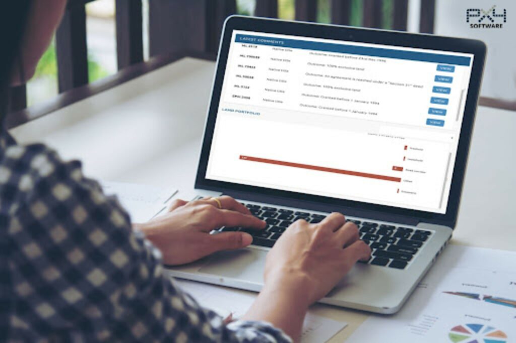
We’ve redesigned the dashboard to highlight the actions, and added not one, but two new cards.
- Recent Comments Card – so you can see where the latest comments are across your PX4 Environment. This is especially useful on a comment that’s normally buried within subpages.
- Land Portfolio Card – get a glance at the number and type of all your land parcels, all in an easy-to-view graph.
And if that’s got you excited, wait till you see what we have next!
Western Australia TENGRAPH GIS Map Integration
We’ve begun fourth year in business by rolling out another amazing update. We’re thrilled to announce the release of the first of many future GIS integrations, starting with the intuitive and useful integration to TENGRAPH.

TENGRAPH Web is a spatial enquiry and mapping system displaying the position of Western Australian mining tenements and petroleum titles in relation to other land information. It provides a current and accurate picture of land under mining activity and is used to determine ground that is available for mineral exploration.
TENGRAPH essentially enables you to understand what land is under Mining tenements in WA whether they are granted or pending, the types of Tenements Mining, Prospecting or Exploration Tenements along with the names and addresses of the tenement holders. It can also help you determine the Land use Types of all WA land, iIncluding Reserves, Vacant Crown Land, Freehold Land, Native Title Land, A Class Reserves, Pastoral Lease Land and their boundaries as well as land available for mineral exploration or metal detecting.
It also gives an up to date picture of land under mining lease activity whilst providing information from other databases and maps such as.
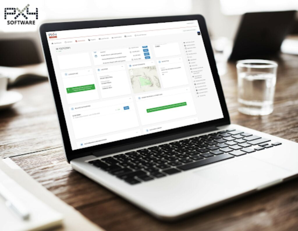
With PX4’ cool new update, our Western Australia jurisdiction users, can head on over to the Authority Console, to see their tenement now visually represented on a live map – straight from TENGRAPH.
Though it may be a wrap on this blog post, we’re just getting started! Stay tuned for our exciting future updates that we’re sure you’re going to love.


